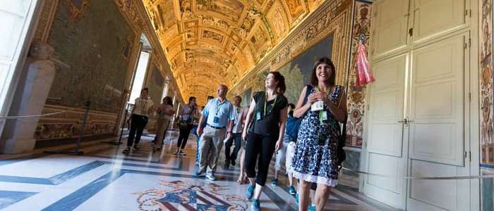
The Gallery of Maps is a 120-metre gallery frescoed in the 1580s with 40 topographical maps of Italy's regions, commissioned by Pope Gregory XIII and painted under the direction of the geographer-friar Ignazio Danti.
Each of Italy's regions is rendered as a detailed fresco map along the gallery's walls, with an equally
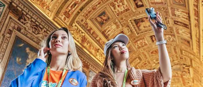
elaborate gilded ceiling above — one of the most photographed stretches of the entire Vatican Museums
route, and included in the standard ticket with no separate booking needed.
Unlike the Raphael Rooms or the Sistine Chapel, there's nowhere to pause off to the side — it's a single corridor with a steady flow of foot traffic, so a slower look usually means stepping to one edge rather than stopping outright.
Is the Gallery of Maps part of the standard Vatican Museums route?
Yes — it's included in the general ticket, no separate booking needed.
Are the maps in the Gallery of Maps geographically accurate?
Remarkably so for the 1580s — Ignazio Danti's surveys were unusually precise for their time, though naturally not to modern cartographic standards.
Is the Gallery of Maps ceiling as elaborate as the maps themselves?
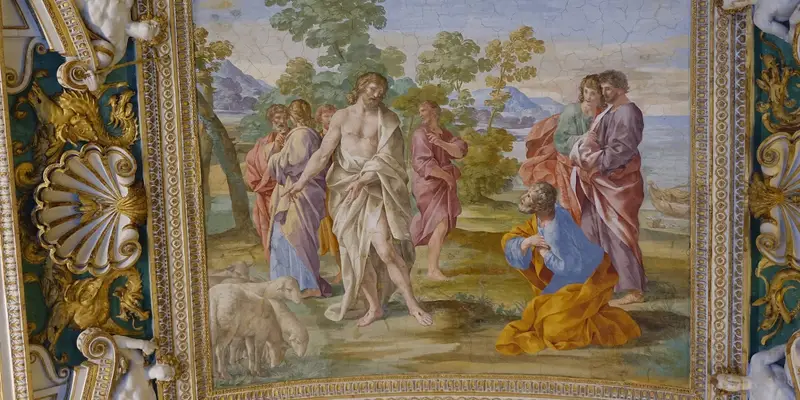
Yes — it's densely frescoed with its own scenes and stucco work, which visitors often overlook entirely while looking down at the maps along the walls.